01
Aerial Photography & Video
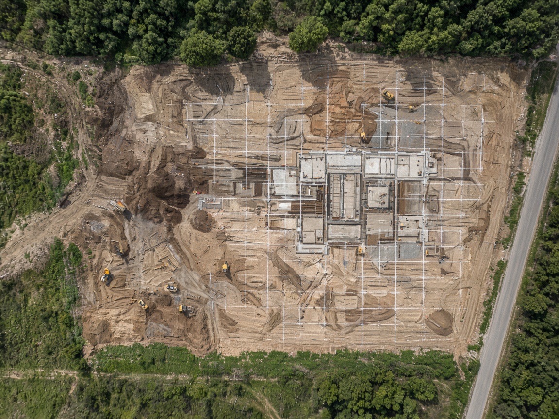
High-resolution stills and cinematic video for sites, facilities, and marketing.
View service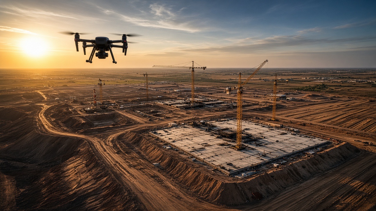
Commercial & industrial UAV services
FAA-certified commercial drone photography, mapping, surveying, and industrial inspection delivered by local crews in Austin and Dallas.
About Pinnacle Drone Solutions
Pinnacle Drone Solutions is a commercial UAV company delivering professional aerial photography, mapping, surveying, and inspection for construction, industrial, and energy properties in Texas. We fly missions engineered to produce usable data — not just footage — under real jobsite constraints, real airspace, and real reporting deadlines.
From marketing photography and construction progress mapping to photogrammetry, thermal inspection, LiDAR, and oil and gas surveys, our crews focus on the fundamentals that determine deliverable quality: flight planning, sensor choice, overlap and ground sample distance, and documented processing.
Austin and Dallas are staffed by local FAA Part 107 crews operating to the same standards, documentation, and safety expectations — so a facilities team with sites in both metros gets one consistent experience.
Capabilities
Six core service lines delivered by local FAA Part 107 crews to one standard.
High-resolution stills and cinematic video for sites, facilities, and marketing.
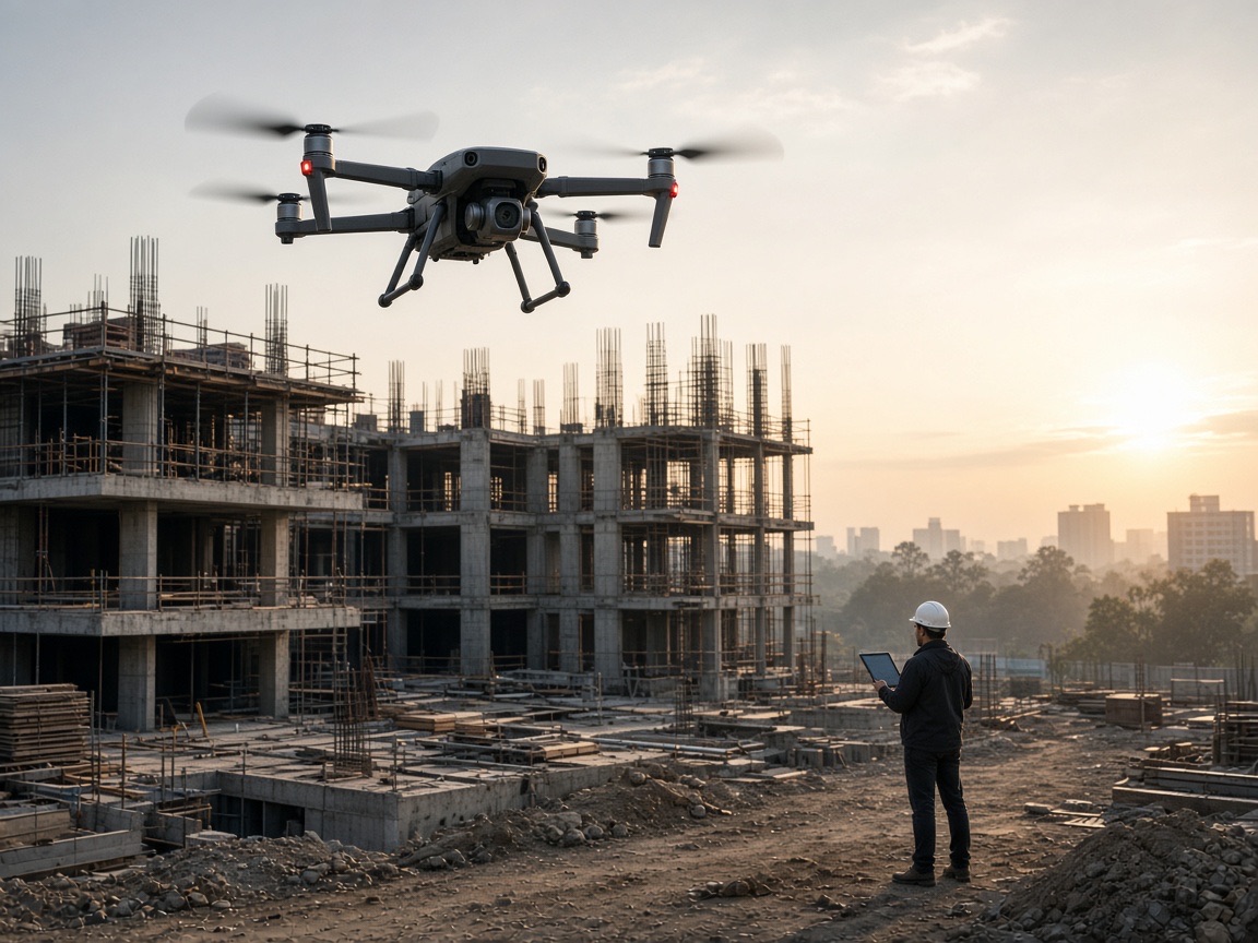
View serviceRepeatable progress maps so owners and GCs can see the whole site.
View serviceSurvey-grade aerial mapping, 3D models, and measurable site data.
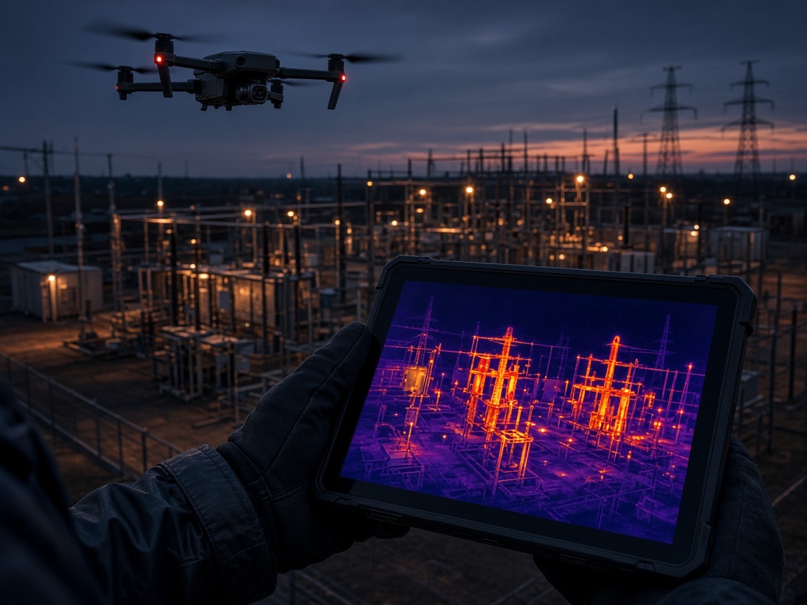
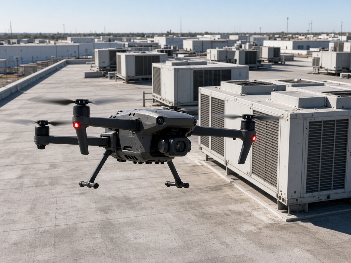
View serviceRadiometric thermal flights for roofs, electrical, and mechanical assets.
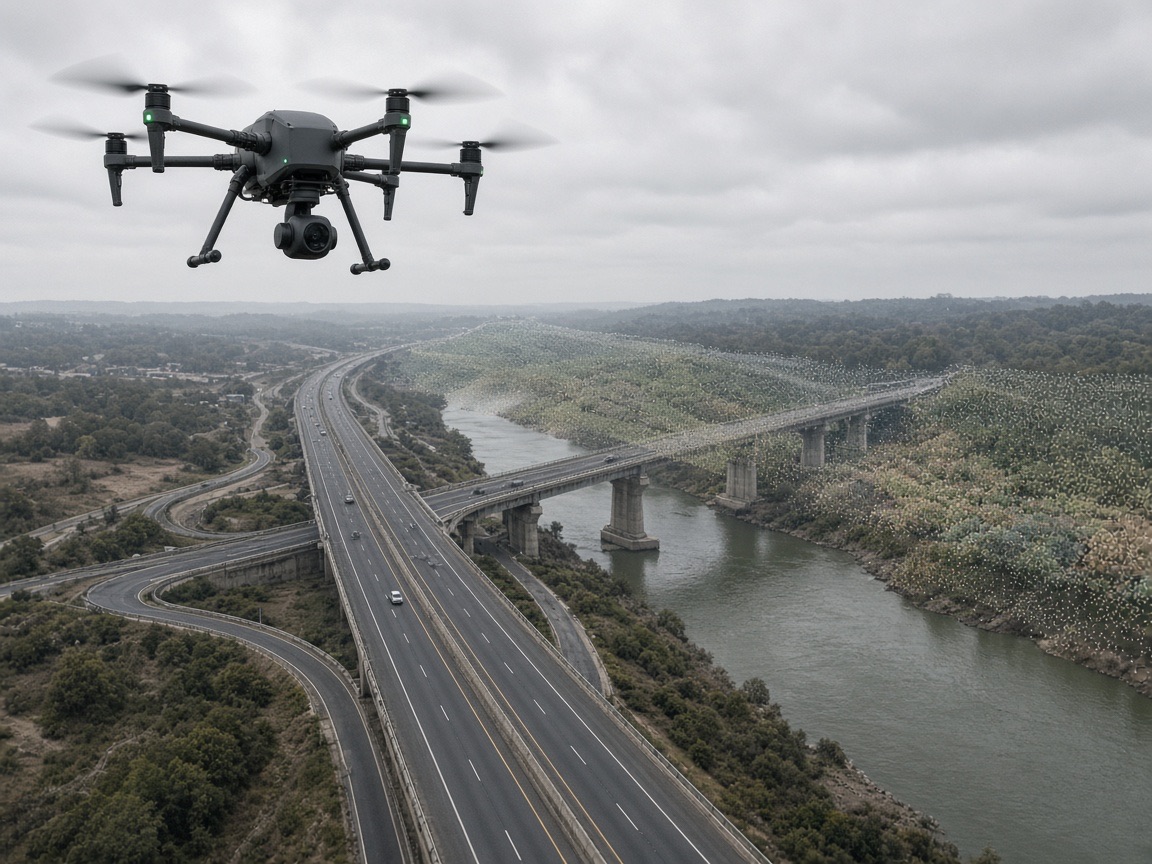
View serviceLiDAR and close-range inspection for corridors, structures, and hard-to-reach assets.
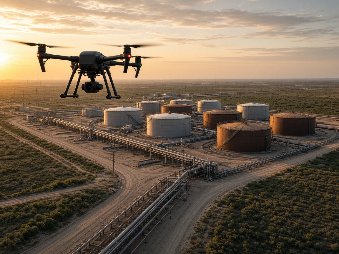
View serviceAerial inspection for tank farms, pipelines, and energy facilities.
View serviceHow we work
Predictable execution from first briefing to processed deliverables — documented at every stage.
We walk the site or review plans, confirm airspace, access, and the data you need before quoting a flight window.
You receive a written scope with sensors, coverage area, deliverable formats, and pricing — typically within 48 hours.
We file authorizations, set ground control if required, and coordinate with site safety so operations stay open.
Certified pilots fly the planned grid or inspection path with the specified camera, thermal, or LiDAR payload.
Imagery, orthomosaics, models, and reports are processed, QA'd, and delivered with a documented closeout.
Who we serve
From a single jobsite to regional industrial and energy portfolios, we scope flights around operations — not the other way around.
Texas coverage
Every pin is a staffed market with its own pilots, aircraft, and direct local number. Select one to see local coverage and contact details.
Coverage
Select your market for local contact details and service information.
Client feedback
Pinnacle flew our jobsite on a weekly cadence and the progress maps made owner meetings straightforward. The team was professional, on time, and easy to work with around our crane picks.
We needed thermal and visual inspection across a plant without a shutdown. Pinnacle handled the flight planning, delivered annotated reports, and stayed inside our site safety rules.
Great experience from briefing to delivery. The aerial photography and orthomosaic were sharp, and the Dallas crew made it simple to get the data our engineer asked for.
FAQ
Most commercial proposals are delivered within 48 hours of the mission briefing. Multi-site or specialized sensor programs may take slightly longer because each location is scoped for airspace, access, and deliverables individually.
Yes. We plan flight windows around active work, coordinate with site safety, and keep crews and equipment out of the operating area. Dawn, dusk, and weekend windows are available in both markets we serve.
Every mission is flown by FAA Part 107 certified remote pilots with commercial liability coverage. We complete vendor onboarding, insurance certificates, and safety documentation for GCs, energy operators, and property managers.
Typical packages include high-resolution stills, video, orthomosaics, 3D models, thermal reports, or LiDAR point clouds depending on the service line. Formats and accuracy targets are written into the proposal before we fly.
Yes. Ownership groups and contractors with properties in both metros work with a single point of contact while local crews execute to the same standards and reporting format.
Photography and video are visual assets for marketing, progress, and documentation. Photogrammetry processes overlapping stills into measurable maps and models. We recommend photogrammetry when you need quantities, elevations, or a comparable site record over time.
Request a site assessment and receive a written scope with sensors, coverage, deliverables, and pricing — typically within 48 hours.